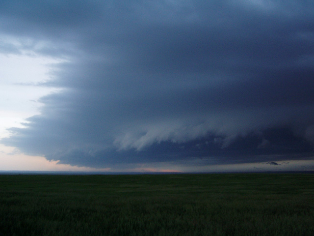
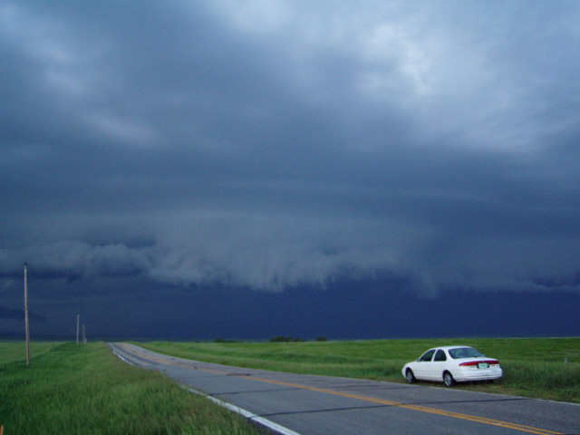
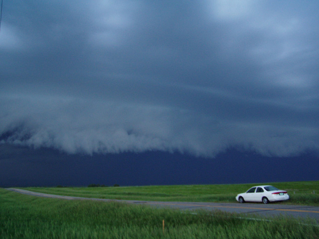
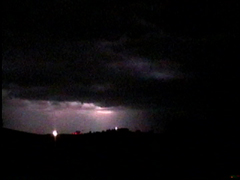
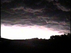
I woke up at 6am and saw that conditions still appeared favorable for severe storms in South Dakota. The only questions would be how far west I would need to go, as computer models were a bit unclear as to where the surface low (or lows) would set up and how soon the stronger upper level winds would arrive. That was a question that could be answered later, as I really needed to get on the road. I left Norman at 8am, stopped in Salina KS around noon to check data, then continued on north then northwest through Nebraska and South Dakota. Shortly after entering South Dakota, I began to make out a line of storms to my distant west. It was already after 7pm by this time, but being that it was June and I was so far north I still had more than 2 hours of daylight left. I went west to Winner, where I learned of a tornado warned storm to my northwest in Jones County. Road construction on US 183 prevented me from getting there, so I took Hwy 44 west to another tornado warned storm in Mellette County. By the time I got to Mosher I was able to get a good view of this storm, as a large shelf cloud appeared along the western horizon. I found a higher vantagepoint and stopped along side of the road to get these pictures as the storm moved towards me.
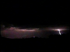
As the leading edge of the outflow raced towards me, I retreated back east towards Winner. Along the way I got blasted the leading edge of the outflow with gusty west winds. I also saw a few gustnadoes form along the leading edge of the outflow.
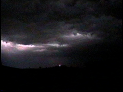
Although the storm hardly dropped any rain in Winner, it produced almost continuous in-cloud and occasional cloud-to-ground lightning as it moved through.