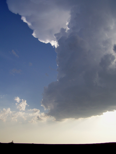
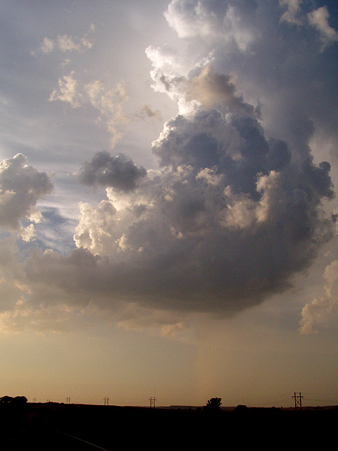
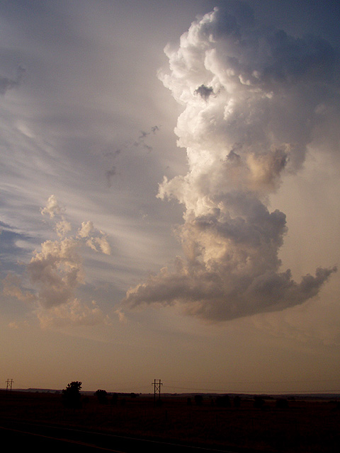
As the cold front had cleared through South Dakota and Nebraska into Kansas today, the plan today was to drift back south. My main thoughts were really towards positioning for the next day, but I also wanted to head back that way in case storms fired along the front in Kansas. Sure enough, storms fired along the front this afternoon, backbuilding southwest along the front through south central and southwest Kansas. These storms struggled with the cap for a while, but then shortly after 6pm the southwesternmost storm in far northwestern Oklahoma exploded, quickly developing a prominent overshooting top. This storm was extremely high based so the threat for tornadoes would be nonexistent, but it would provide a nice opportunity to get some storm structure shots and shoot some time lapse. Despite the weak winds aloft, this storm had no trouble rotating due to the very strong instability over the region. Here are some shots I got of the storm near Lookout OK.
Time lapse
Clip 1 (6 sec, 400 KB) | Clip 2 (66 sec, 4 MB)
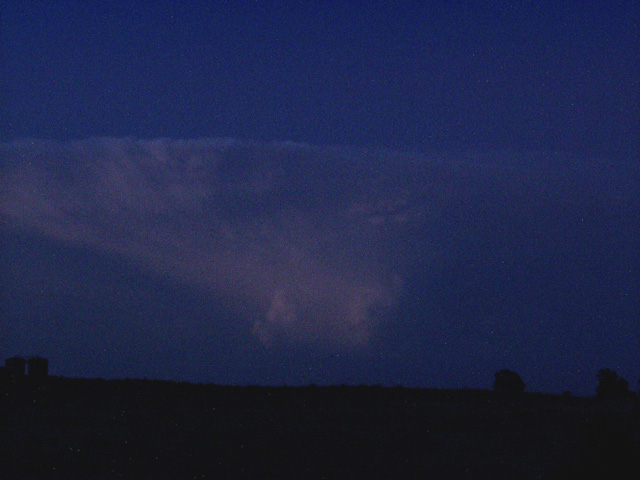
After the storm died off, I figured the show was over for the day and headed to Dodge City to position for tomorrow. But after the sun went down, a new storm rapidly developed in the same spot seemingly out of nowhere. Here's one shot I got of it in diminishing daylight.