june 2, 2005
sucker storm in southwest kansas
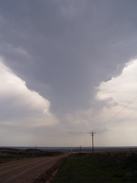
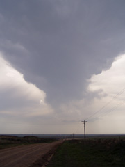
The original plan for today was to go after upslope storms in eastern Colorado. Jay and I didn't get out of Norman until around noon, but being 8 hours from the target there was hope we'd get there with plenty of daylight left. The dryline in southwestern KS and northwestern OK was a much closer option, but with how strong the cap was I wanted to avoid this area at all costs. Even though we saw turkey towers going up on the dryline as we approached Liberal KS, I told Jay that we should ignore them and keep heading north. But one tower to our west-southwest kept growing and growing, and eventually became a mature cumulonimbus with a backsheared anvil - often a sign of a severe storm. Sure enough, the storm quickly became tornado warned, and since we were much closer to it than whatever was up in Colorado we turned around between Sublette and Garden City and headed back towards it. But as soon as we got close, the storm died a very rapid death.....
After the storm fizzled out, we started heading back north, seeing numerous chasers parked along side the road on the way. We probably saw at least 40 different chase vehicles out there, including vehicles from Ch. 9 in OKC, Ch. 6 in Tulsa, the Tornado Intercept Vehicle, and the Doppler on Wheels. Since we had lost about 1 1/2 hours on the southwestern Kansas storm we figured there was no way we'd get to the Colorado storms before dark, so we decided to stop in Garden City and call it a night.
Go on to the next page.