june 3, 2005
central kansas crapfest part 1
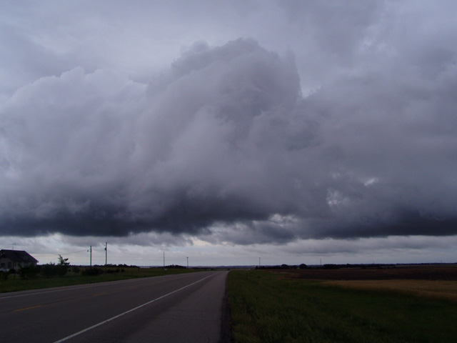
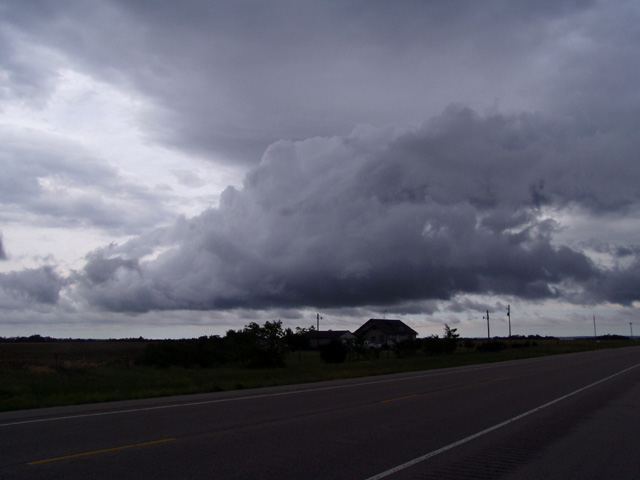
Today had all the lookings of a day that was pretty much over by 10am. A vigorous upper level low had moved into the southern Plains out of northern Mexico overnight, touching off widespread thunderstorms throughout much of Kansas and Oklahoma which persisted well into the morning. With all the cool air and cloud cover sure to be left over from the storms, I thought it might be good just to blow today off and look ahead for tomorrow. With no real reason to head anywhere, Jay and I decided to hang out in Garden City. We got quite a surprise around noon. We were rocking out to Mexican polka minding our own business when a freak hailstorm came out of nowhere and dropped pea sized hail on us for 5 mintues. There was not even any thunder or lightning to go along with it. After that moved north, we went to the library where I looked at data. I saw that the SPC had issued a tornado watch for Oklahoma. Apparently the forecasters were excited about the dry punch approaching the area, but with dewpoints dropping into the 50s across Oklahoma and storms in central Texas interfering with moisture return I wasn't about to take the bait. I also learned that there had recently been a brief tornado near Ness City KS not far to the northeast. This was the type of tornado that forms and dissipates very quickly, making it almost impossible to chase. Anyway we decided to head towards Salina, partially to position for tomorrow - but also with hopes we'd run into some more short lived, rotating storms along the way. We did see these brief, low topped showers go up north of Great Bend KS, and stopped to take pictures.
After these showers dissipated, we continued to Salina where we stopped for the night. When watching TV that night we learned that there were additional short lived, brief tornadoes near Ulysses (where we busted the day before) as well as a funnel cloud/possible tornado near Garden City (where we had been a few hours earlier).
Go on to the next page.