may 31, 1999
supercell in southwestern kansas


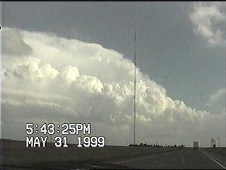
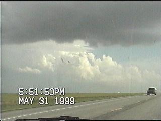
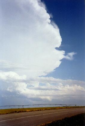
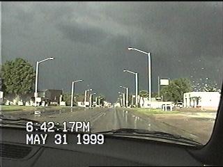
Big day in southwestern Kansas. I knew not to expect seeing a day like this since I had limited myself to just three days out in the Plains, so actually seeing storms like I saw today more than exceeded my expectations. No, I didn't see the Sitka tornado either. But if you're going to complain just because you didn't see a tornado, you're going to miss out on a whole lot in the entire chasing experience.


I approach a Cb from the NW on US 83 just south of Garden City KS. But this wasn't my target storm......
....this one just to its south was.
My first clear view of the Meade/Sitka supercell, looking southeast from Haskell County KS. A herd of cattle was angrily staring at me as I snapped this photo. I wonder if they knew about my Burger King lunch in Burlington CO?

About a minute later, I saw this feature extending about 20% from the cloud base (difficult to make out from this capture). I couldn't tell if it was rotating or if there was a dust whirl below it due to distance (it was at least 25 mi to my SE - I estimate this feature would have been over western Meade County). This feature only lasted for a couple of minutes. I intially dismissed this feature, but later learned that there was a tornado reported west of Meade between 5:55 and 6:00 (The time in this video capture is incorrect. My video camera's clock was five minutes slow, so the time should read 5:59 instead of 5:54). In my opinion, the jury's still out on exactly what this feature is.
The town of Meade right after the storm went through. The town looked like it made out OK. Looks pretty nasty off to the east, though.


Go on to the next page.