|
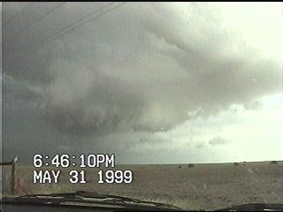
My first view of the wall cloud just southeast of Meade. |
 |
 |
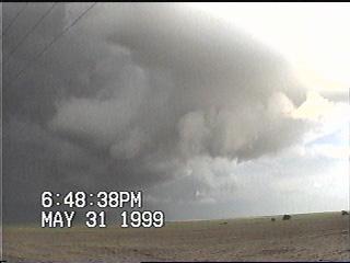
Here's the same wall cloud a minute later. Notice how rapidly it changed form. |
|
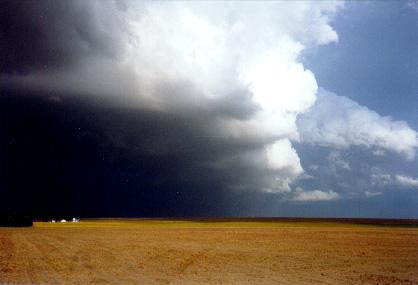
Another view of the same wall cloud. I never saw any visible funnels or dust whirls associated with this feature. |
 |
 |
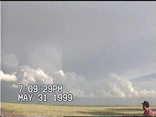
A more extensive view of the mesocyclone east-southeast of Meade. |
|
Flanking line as seen from eastern Meade County. |
 |
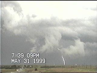 |
Lightning near the Clark/Comanche County border. |