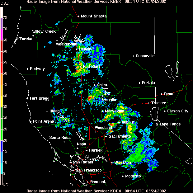
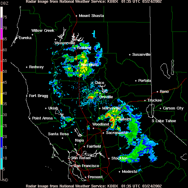
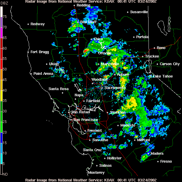
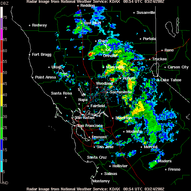
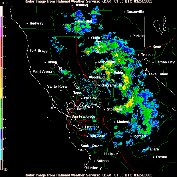
Throughout the afternoon of March 23, 2002, thunderstorms broke out all over the Sacramento and northern San Joaquin Valleys of California. Many of these storms produced hail, and there was even a report of a tornado near Williams. Of particular interest was one supercell that remained nearly stationary over southeast Glenn and southwest Butte Counties late in the afternoon. Although no tornadoes were confirmed out of this cell as of this writing, a tornado warning was issued for this supercell for over an hour. Following are some base reflectivity images of this cell from the WSR-88Ds at Beale AFB and at Davis (all images courtesy of the National Weather Service)....
Further to the south, Stanislaus County got in on some of the action as well. My mom witnessed some hail and a possible funnel cloud west of Modesto as she was driving from Turlock to Vallejo. Her report can be found below...
This page was last updated 4-13-04 at 0205 CDT