|
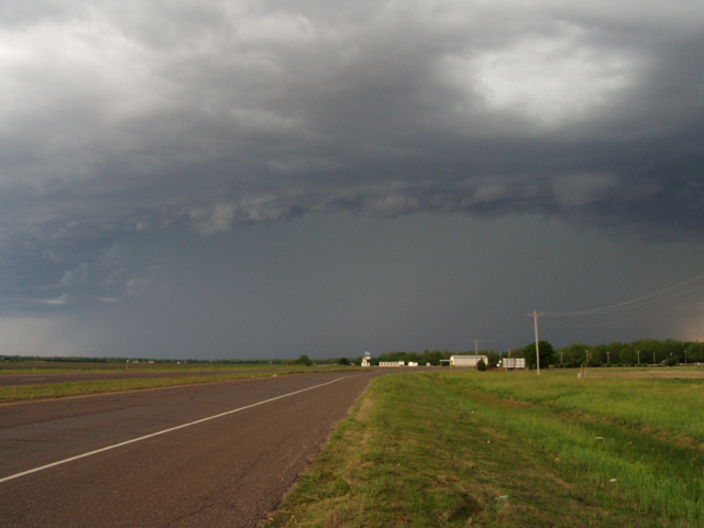
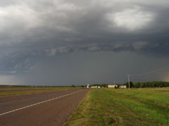
My first view of the shelf cloud from the intersection of I-35 and Hwy 19 just west of Pauls Valley OK.
|
|
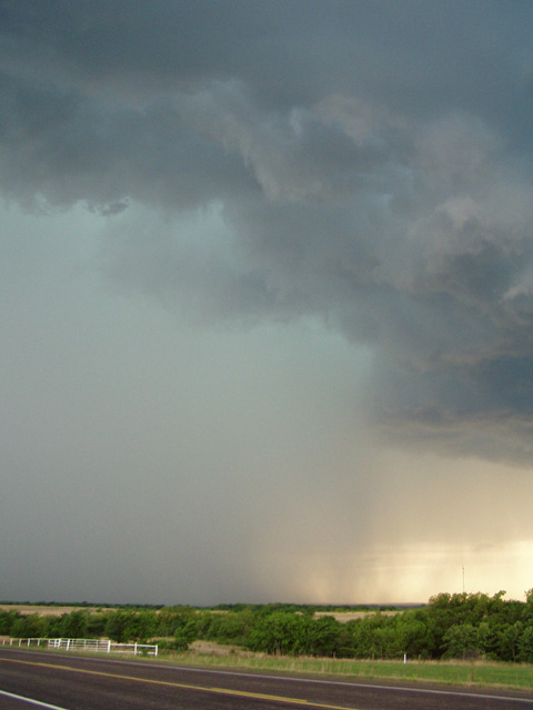
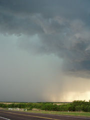
The precipitation shaft took on a familiar bluish green tinge, as seen from near Stratford OK.
|
|
|
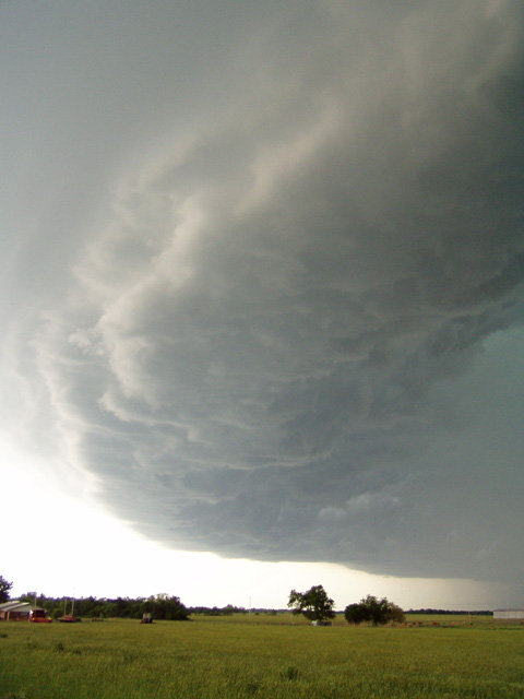
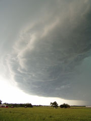
Another view of the shelf cloud from near Center OK, looking southwest.
|
|
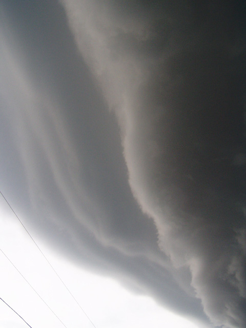
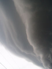
With the leading edge of the shelf moving towards me at about 35-40 mph, it was tough staying ahead of it, and its leading edge came up on me rather quickly. I finally let it overtake me in Ada OK before calling it a day.
|
|