february 21, 2005


Following are video captures and digital images I took in the southern Sacramento Valley of California on February 21, 2005. The first cell I intercepted near Arbuckle was one which produced at least two tornadoes in the Sacramento area a couple of hours earlier. Please click on a picture to see a larger version


By the time I caught up with the cell northwest of Arbuckle CA, the cell had begun to move over the Coast Range and weaken rapidly.
View to the southwest at the same time.
The storm was pulling in a lot of rain cooled air from the east, which also contributed to its demise.
After a few minutes this cow came up and started staring at me.
Then some of the cow's friends walked up and started staring at me as well.
More and more cows continued to walk towards me.....
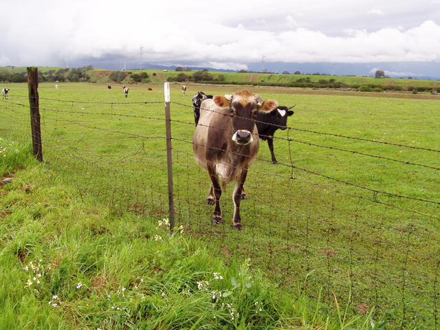
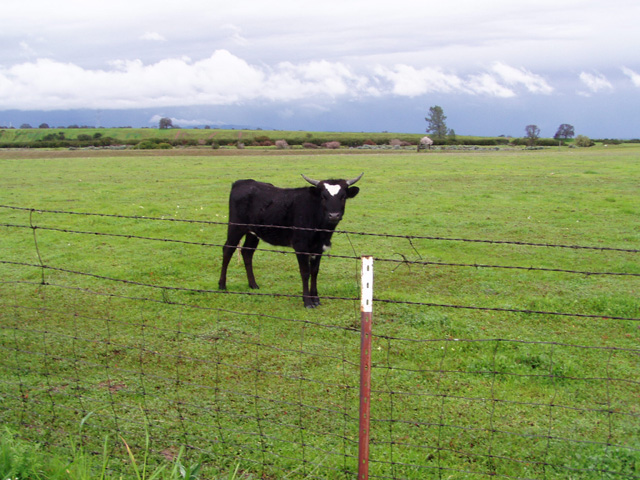
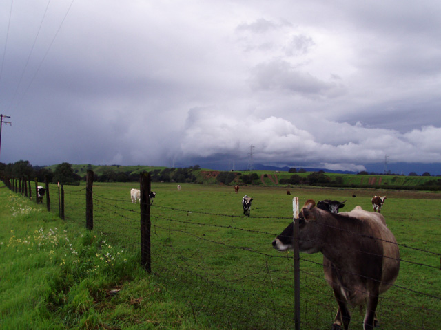
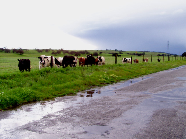
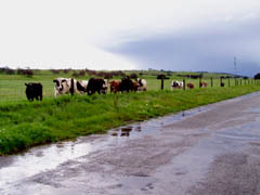
....and before I knew it there were like 800 cows lined up all along the road staring at me. They didn't seem too happy to see me there. Must be from all the friends of theirs I've had for dinner over the years......
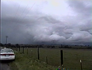
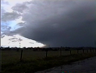
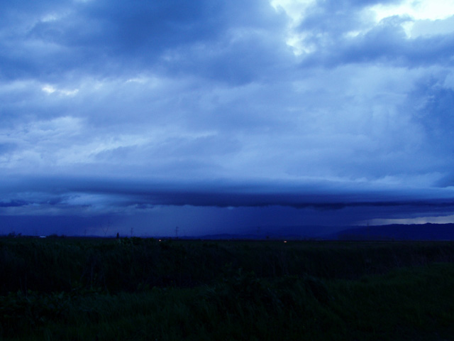
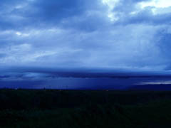
I then dropped south to intercept a new severe warned cell near Winters. Here is what is left of what was 20 minutes earlier an impressive shelf cloud.
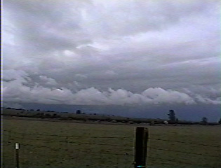
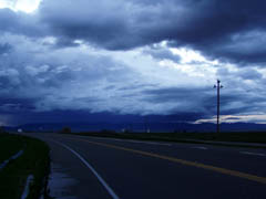
Although the storm had become disorganized with the loss of the daytime heating, it was still producing some impressive cloud to ground lightning around the time this picture was taken.


Back to Storm/Chase Summaries

Back to Jeff's Virtual Cyclone Cellar


This page was last updated on 2-21-05 at 2350 PST