|
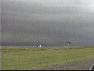
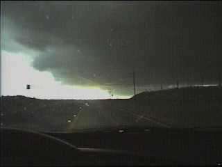
For the second time in a week, I found myself being chased south by a southward charging MCS. Here is how the shelf cloud looked from Darrouzett TX, looking northeast.
|
|
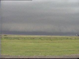
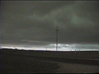
Here is another view of the shelf, looking north....
|
|
|
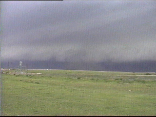
A view of the same shelf, looking northwest. A big cloud of red dirt can be seen being kicked up all the way to the cloud base. I was not able to determine if there was any rotation in this cloud of dirt.
|
|
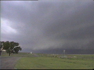
A final view of the shelf cloud, looking west. |
|
|
Due to prospects of a long construction delay on Hwy 213 just northwest of Higgins, I was forced to backtrack west on 213 all the way back to Hwy 305. Because of this, I had no choice but to let the gust front overtake me while heading back to 305. It became so dark when the shelf cloud moved overhead I had to use my high beams! |
|
Tinges of green became apparent as the shelf cloud spread overhead. I never observed any hail.....
|
|
|
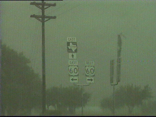
...although I eventually had to contend with incredible amounts of rain! Not only did they take a beating from the torrential rain, but these signs in Glazier TX shook violently in the 35-40 mph winds.
|