march 2, 2002


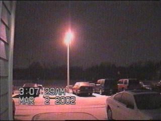
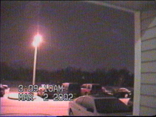
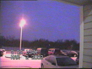
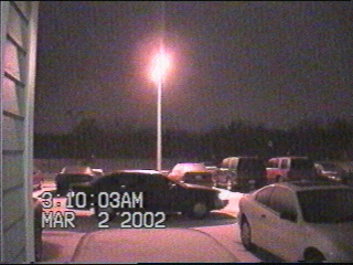
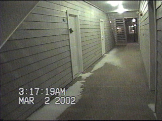
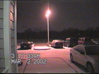
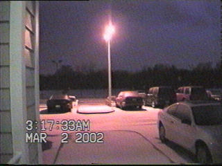
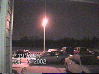
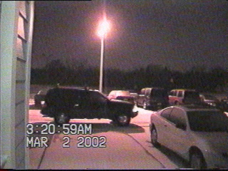
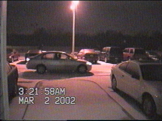
On the evening of March 1, 2002, a sharp cold front rolled through Norman, dropping the temperature from 44 degrees at 8:30pm to 20 degrees by midnight. The coldest layer of air was fairly shallow, and elevated above this layer of cold air was some relatively warm and unstable air. So between midnight and 3am on the 2nd, snow fell from the layer of cold air closest to the surface....while heavy convective showers bubbled up in the warmer unstable air higher up and unleashed furious bursts of sleet. This potpourri of precipitation made driving conditions especially difficult, which can be seen in the video captures below....


By 3am, the temperatures 10,000 feet above the ground had cooled off enough for most of the precipitation to fall as snow.
It's now down to 16 degrees, and we've already experienced just about everything the weather gods have to offer. Freezing rain, sleet, blowing snow, 30 mph winds.....what could possibly be next????
LIGHTNING!!!!!!!
Lots of cars and SUVs (such as this one) fishtailed and spun around in circles as their drivers tried to navigate them on the concoction of frozen rain, sleet, and snow. It's amazing that I didn't see a parked car get hit!
Strong winds blew the dry sandlike snow all the way through the breezeway of my apartment complex.
I wonder if we're going to see any more lightning......
YES!!!!!!
This person almost drove into the curb.
The trick to driving on icy surfaces is to go as slowly as possible. I doubt this SUV was going much faster than 5 mph.
The person who almost hit the curb earlier seemed to have figured this out as well...
The low temperature of 8.6 degrees on the 3rd was the coldest temperature Norman had seen all winter. At Oklahoma City the temperature dropped to 6 degrees, the coldest temperature seen there since 1997.


Back to Storm/Chase Summaries

Back to Jeff's Virtual Cyclone Cellar


This page was last updated on 4-01-04 at 0241 CST