The first potent weather system of the fall season was expected to bring all kinds of severe weather to the southern Plains today. Enormous amounts of instability was expected to be in place over northern and central Oklahoma with surface temperatures in the low 90s and dewpoints in the mid 70s. Winds at all levels were also quite strong albeit unidirectional. This would favor a squall line. The question of the day would be how far south the squall line would extend and would any storms develop ahead of the line. A surface low between Enid and Medicine Lodge was putting the area around Blackwell and Ponca City in an area of backed winds, so my initial plan was to head north up I-35 towards the KS/OK border.
I left Norman at 3:30pm, with Cb already developing to the distant northwest and north. As I got north of Guthrie it was becoming apparent that the squall line was putting out a large anvil that would kill any new development to the east. In addition, this squall line was continuing to build further and further to the southwest - so once I got to near Orlando I turned around and tried to go for a tail-end Charlie. By the time I got back to Edmond, I learned that the storm near Okarche was producing large hail. I was hopeful this would be my tail-end Charlie. But as I headed west towards the cell, it was clearly becoming outflow dominant and part of the squall line that was still building further to the southwest. So around this time I decided to head back to Norman. But as I headed back through the northwestern suburbs of OKC, this storm was taking on a nice rounded, stacked plate appearance similar to the May 27 storm. I was easily able to outrun this storm however as the line's forward speed was only around 15-20 mph.
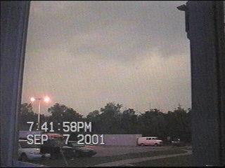
The highlight of the day came right as I arrived back home in Norman at 7:40pm. Just as I got out of my car, I got blasted by cool outflow from the west that almost instantly dropped the temperature from the mid 80s to the low 70s. The sky turned a very bizarre dull shade of orange-yellow. This was quickly followed by buckets of rain. At 7:45, we got our first of three poundings of hail. The initial barrage featured dime sized hail, followed by some pea-sized hail at 7:50. The largest hail came in the final barrage at 7:55, with bright white stones up to the size of nickels. Fortunately the hail was not quite large enough to do any damage to vehicles. An unbelievably intense lightning display accompanied the storm.
Today's chase gets a 10 out of 22. It was great to be out on the road again after a long, dull summer.
Total Chase Mileage: 193 miles
Total Chase Time: 3 hours, 50 minutes